BootsnAll Travel Network


Articles Tagged ‘Peru’

More articles about ‘Peru’
« Home

Last day in Peru

Wednesday, August 26th, 2009

Tomorrow morning I’m flying to Medellín, Colombia, the 18th and final country of my trip (unless I get deported somewhere when I try and re-enter the USA) and I’ve been looking forward to the flight since I finished the inca trail.  We’re back in Lima now for the night, 15 hour bus ride from Arequipa, thankfully my last bus ride in Peru.  It’s amazing how perceptions of places change with perspective.  Now that I’m back in the same hostel I stayed at my first few days in Peru I think it’s a really nice area, calm, quiet, clean etc.  Where as when I arrived I though it was loud, noisy, a little run down…  I liked it then and I like it now, but the difference is coming from Chile & Argentina or coming from the rest of Peru, which is full of louder more polluted streets, far worse looking areas (in tourist towns even), loads of people trying to sell you things everywhere you go and in general, over rated sights.

Machu Picchu is cool, though not as amazingly impressive as I thought, Nazca is a shithole, Arequipa, while an ok (still overrated) city is extremely polluted and noisy due to the insane amount of taxis everywhere and Cusco, which does have impressive sights in and around it, is also full to the brim with people on every street corner trying to sell you something.  The most impressive sight for me here was the Andes, the most dramatic mountains I’ve ever seen in terms of sheer vertical size.  It is these mountains all around that make Machu Picchu look so impressive.  I’m ready for Colombia, enough said on that.

We have 12 days in Colombia, before the flight to Miami.  Not very long, I’m wishing now I had the 3 weeks in Colombia and just spent the 12 days in Peru.  Can’t change that now so I’ll just have to see what my little time (and money) allow in Colombia.  If I really like it there than I’ll just have to go back in the future to see more of it.  Ending Peru on a somewhat high note, we just had a dinner consisting of a platter featuring 4 different criolla style dishes, which is by far the culinary highlight here.  The ceviche being the highlight, delicious.

Colca Canyon and Condors

Monday, August 24th, 2009

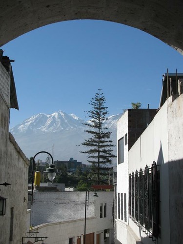
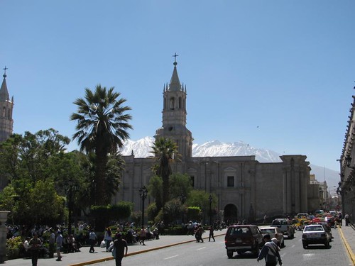
Arequipa is surrounded by volcanos and the buildings in the city are made from a certain kind of volcanic rock.  This rock is normally white and shiny but due to the street level pollution here, it’s more off-white/greyish.  Lovely. It does have a cool texture to it though.

volcano from Arequipa town

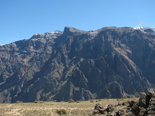
We decided to spend our last couple meaningful days in Peru taking a 2 day tour of the Colca canyon area, near Arequipa.  The route to the Colca valley heads into the mountains and the high pass we went through was almost 5000m/16,000ft.  The air is thin up there and the sky even looked different.  Glad I wasn’t hiking that high on the inca trail.

IMG_5951

view from the pass at 4915m

IMG_5957

After the pass it was the long descent into the valley, which is full of pre-inca farming terraces.  Everywhere, far more than we saw on the inca trail or anywhere around Cusco.

pre-inca terraces

pre-inca farming terraces

We had a short hike after lunch by some of the terraces and food storage constructions, all pre-inca and then finished the day at one of the many local thermal springs.  This one was warmer and better than the ones in Aguas Calientes.  We spent the night in the valley.

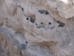
pre-inca food storage

inca bridge

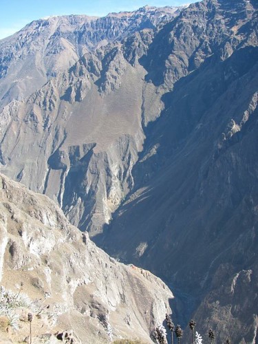
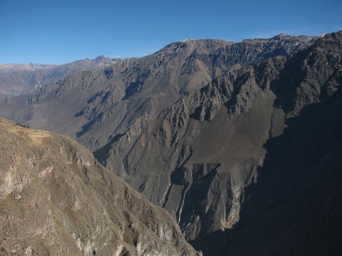
Next morning, up at 5:30 (I’m really getting sick of this here) in order to get the 2 hour drive through the mountains over with early enough to see the Condors flying at one of the colca canyon viewpoints.  At this particular viewpoint, the canyon floor was about 1200m below the rim of the canyon we were standing on, with mountains rising up another 2000m above us.  Spectacular view.
colca canyon

colca canyon

colca canyon

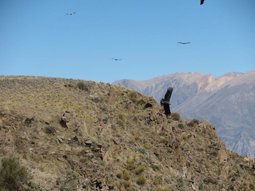
The Condors were cool to watch too, though I don’t rate them as cool as the Albatross we saw in New Zealand last year.  Their wingspan is similar, slightly less, and the soaring was impressive especially with the backdrop of the canyon.  Nicer looking than the vultures in South Africa though.

Condors flying

Condor flying

Condor flying

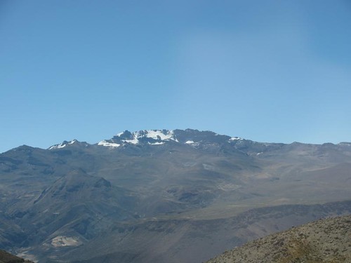
After that and a great buffet lunch of local food in the town of Chivay (where I tried guinea pig,  ok, but not worth the effort to eat it) we headed back to Arequipa, taking the same route back through the high mountain pass.  Great views with the perpetual clear skies this time of year here, it is in this area that the amazon river starts, on this snow capped mountain.
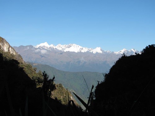
the source of the amazon

leaving Machu Picchu, back to Cusco and on to Arequipa

Saturday, August 22nd, 2009

Another word on Machu Picchu itself.  Some of the pictures I took are the traditional well known angle but all in all it wasn’t exactly how I expected it.  Part of this may be I hadn’t really looked up much information about it ever.  For one thing, the rocks used to build it weren’t transported here, there’s a large quarry site in the city where the incas broke up rocks.  That’s another thing, there’s not many large rocks in buildings, mostly just small stones typical for what you would expect in stone house construction.  The city is hugely impressive, just plain huge too, spreading out across the plateau on top of the mountain with all the terraces, but there’s not a “how the hell did they do this 500 years ago?” factor.  Not for me anyway.  No more than how did anyone build castles on mountains in Europe in the middle ages.  All of this makes me want to go visit an older civilizations ruined cities/temples.

After attempting to sleep in and giving up around 7:00 the next morning in Aguas Calientes we caught the train part way to Cusco and bus the rest of the way.  Back to the hostel we were at before the trail.  Just one more night here, nothing else we were interested in seeing in Cusco and it’s really annoying not being able to walk around without people trying to sell you stuff, constantly.  So we got 2 of the last seats on a night bus the next evening to Arequipa.

Spent the day in Cusco looking for a cool inca trail t-shirt or other interesting souvenirs, hardly found anything.  Typical, I’ve never seen more tourist shops than there are in Cusco but they all have the same lame t-shirts.  Empanadas for lunch, again for dinner, I’m totally fed up with the local cuisine of flavourless rice with boring beef or chicken or even the “jungle potato”, yuca, which is like chewing starch with no real flavour.  I miss the flavour highs of Argentina.

The overnight bus ride to Arequipa sucked, 10 hours, semi cama, no where near enough leg room for me.  Still cost me $30 though.  More expensive than the Argentinean and even Chilean buses with much less service en-route and less comfortable seats with no legroom.

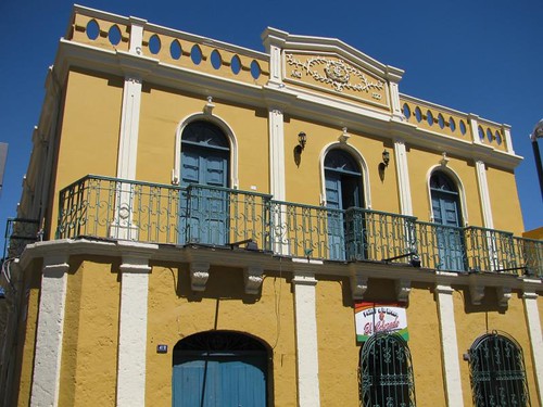
We arrived in Arequipa around sunrise, saw the volcanoes surrounding the city from the bus then took a taxi to our hostel at 6:45 to wait for the place to wake up.  Walked around the centre later on, it’s no Cusco but still a fair share of nice older buildings, giving it some character even if most are slightly run down.

mountains outside of town

plaza de armas

IMG_5914

Went out to a pizza/pasta place for dinner since we’ve seriously had it with chicken and rice dishes. (and the dodgy stomach problems they cause)  Restaurant was good anyway, after that it was the Irish pub for very cheap happy hour drinks.  In case you can’t tell, I’m bored of Peruvian stuff in general.  This is the last stop here, flying to Colombia on Thursday.

Inca trail, day 4 and Machu Picchu

Friday, August 21st, 2009

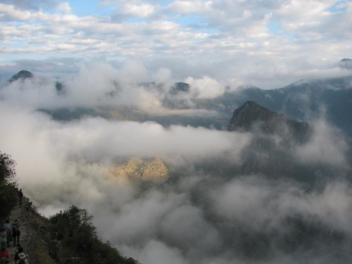
Day 4, the last day of the Inca trail does not involve much hiking on the trail, only about 2 hours and then you are in Machu Picchu.  However, you wake up at 3:45 to be waiting in a queue at the checkpoint 5 minutes from camp when it opens at 5:30.    None of that was fun.  From there, it’s and hour hike up to the sun gate, all before sunrise.  Arriving at the sun gate was anticlimactic since instead of the majestic view of Machu Picchu there was a large cloud.

clouds over Machu Picchu mtn

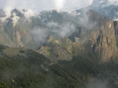
As the sun started to peak it’s way over the tops of the mountain peaks, the clouds slowly started to clear giving us little snapshots of the mountaintop city in the distance.

Machu Picchu from the sun gate

Machu Picchu from the sun gate

view of Machu Picchu during the descent

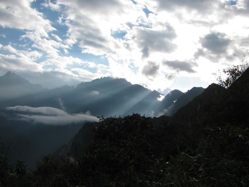
view along the descent from the sun gate

From the sun gate it’s about 45 minutes hiking downhill to reach Machu Picchu, numerous great views along the way, peaking with the one when you reach the high outer edge of the city.  Mission accomplished!

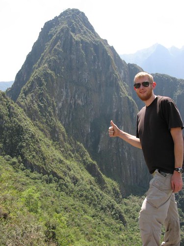
me @ Machu Picchu

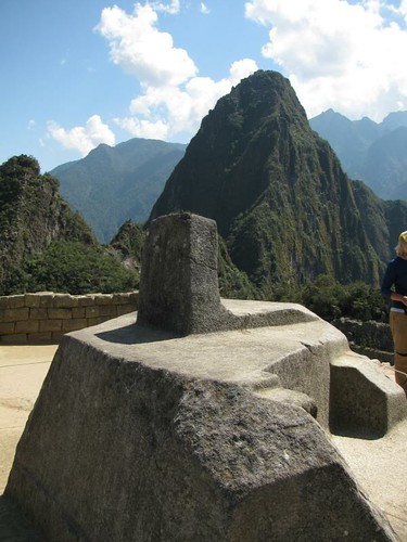
After the obligatory photo shoots up here and some formalities we headed into the main part of the city.  Firstly for a boring tour led by the guide, 1 1/2 hours, and then we were free to explore on our own.  Unfortunately we couldn’t climb Huayna picchu, the iconic mountain sticking up directly behind the city of Machu Picchu, because the limit of climbers for the day had already been reached.  So we just spent several hours exploring the 15th century city.  Numerous houses, temples, farming terraces, storehouses, staircases, sacred stones, fountains, the quarry where they got the stones from and even one sacrifice stone are all here to see and I was amazed at how much of our group didn’t hang around much after the very basic and uninformative tour by our guide.  I hiked for 45km to get here through the freakin Andes, I’m going to spend at least a few hours here now that I made it.  The weather was gorgeous, almost a little to hot even!

Machu Picchu and Huayna picchu

Machu Picchu

main residential area

part of the city with Huayna picchu in the background

the quarry

houses

sacrafice stone and Huayna picchu

IMG_5849

Machu Picchu and Huayna picchu

After exhausting ourselves walking all over Machu Picchu for several hours, we headed down into the valley on the bus to the base camp town of Aguas Calientes to meet back up with our group at the hostel we were staying in that night and have lunch there.  A glorious shower followed lunch, then a trip to the, warm (I wont call them hot) springs to relax.  Some drinks in the evening and dinner, then passing out after an incredibly long and rewarding day.

me in front of Huayna picchu

Inca trail, day 3

Thursday, August 20th, 2009

5:15 wake up call in the morning of day 3, I hadn’t slept the best and unfortunately that meant it was going to be a harder days hiking.  Especially since I had to carry my own backpack again.  The sunrise during breakfast was beautiful though.

sunrise from camp

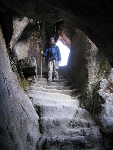
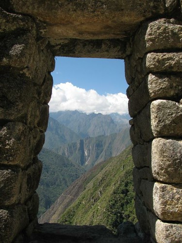
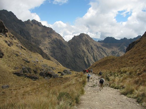
The morning started with more uphill hiking to the 3rd pass of the trek, the views along the way just kept getting better.  The vertical size of these mountains is unlike anything I’ve ever seen.  There’s loads of mountains, all big, most with jungle vegetation on them and then some gigantic snow capped peaks dominating the landscape.  At one point, near the pass we went through one of the inca tunnels on the trail, carved out of a combination of a landslide and solid rock.

trek through the jungle

IMG_5655

IMG_5659

IMG_5642

me in the inca tunnel

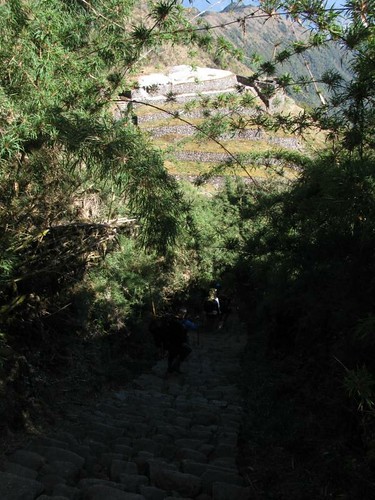
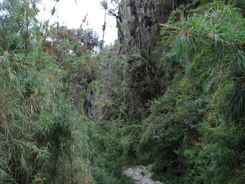
After the pass it was steep downhill on a really cool inca stairway surrounded in bamboo, leading to another inca lookout station.  Great view here, great spot. 

path down to Puyupatamarca from the pass

Unfortunately our dimwit guide decided to make a speech for an hour here.  Not about the lookout station, he didn’t mention it once, but about random historical facts (many of which were incorrect).  We ranked this as the low point of his extremely low performance.  This speech included drawing a map of Europe in the dirt (god knows why), informing us that in latin american history there were only 2 empires, the incas and the “mexican empire” and that in current Central America there were two countries, Mexico and Guatemala!  Such wonderful “facts” were accompanied by, about every 5 minutes, the date Machu Picchu was discovered and the name of the guy who discovered it.  I think I heard that about 1000 times over the 4 days.  Still, here’s the view:

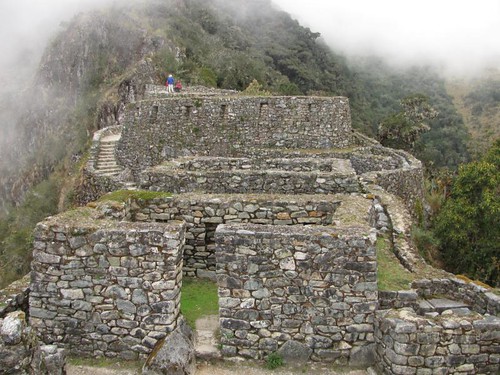
Puyupatamarca inca site

Puyupatamarca inca site

Puyupatamarca inca site

Puyupatamarca inca site

Moving on from the so called guide…  Next we continued descending through the jungle in what was now a hot sunny day with muscles that had gotten tight while we were sitting through the speech.  The scenery was still great, and we could see Machu Picchu mountain now (the other side from the city) but this bit was tougher for me, partly due to the fact that my legs had tightened up but more because it was quite hot and I was carrying my backpack.

view of Machu Picchu mtn from the jungle on the descent to camp

view from the jungle on the descent to camp

view from the jungle on the descent to camp

view from the jungle on the descent to camp

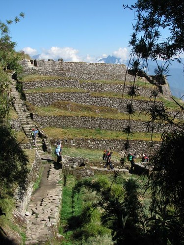
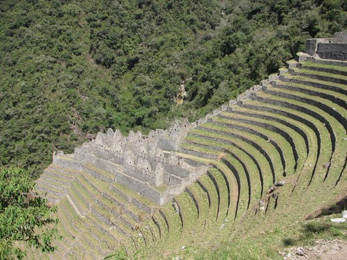
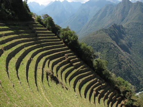
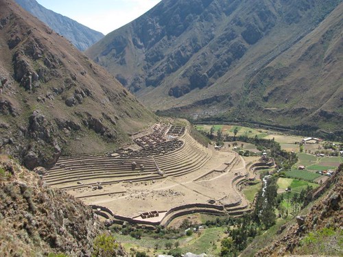
After hiking down for what seemed like an age, less time hiking than the previous days but more distance since it was much less uphill or steep, we finally got to the last campsite, complete with showers.  This last campsite, like all the others had a stunning view of mountains across a valley.  It also had the Huinay Huayna ruins very near to it, the most impressive inca site on the before Machu Picchu itself, lots of farming terraces and an incredible water system.  Our backup guide did the tour of this so I actually learned something about it…

Huinay Huayna

farming terraces and houses

farm terraces

looking up from the houses

IMG_5710

terraces from the temple entrance

irrigation fountains

After the day of hiking, exploring the inca site and taking a much needed shower everyone just waited for dinner so we could go to bed.  I was shattered and the next morning had a 3:45 wake up waiting for us, in order to hike into Machu Picchu early.  Yes, 3:45am.  I haven’t gone to bed before 9 this many days in a row before since I was a little kid. Here’s the view from my tent…

view from my tent

Inca trail, day 2

Thursday, August 20th, 2009

A wake up call with coca tea at 5:00 was the start of day 2, the toughest on the trek.  12km hiking, slightly less than day 1 but much steeper terrain at higher altitude reaching the highest point of the trail, dead womans pass at 4200m/13,800ft.  After breakfast we started with the climb to dead womans pass, about 1km of elevation gain over 4km of distance, pretty damn steep. 

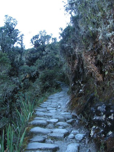
stone stairs up through the jungle

reaching the top of the jungle

the hike to dead womans pass

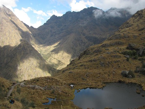
I made it up there without any of the altitude sickness symptoms except a headache, that would be with me on and off for the rest of the trail, something about my brain liking oxygen or something….  Anyway, the view on the other side of the pass changed dramatically and we were looking at the kind of mountains we’d be looking at for the rest of the trek now, with high jungle growing on them.

IMG_5554

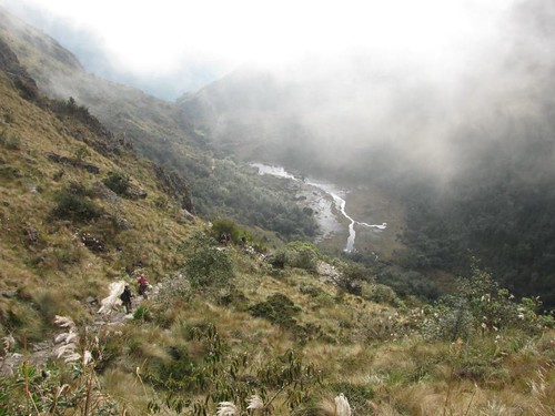
It’s slightly disheartening after you have just gained 1km of elevation at your own effort to descend 700m very steeply immediately and the whole time knowing you have to go back up another 500m after that for the 2nd pass of the trail.  All together I climbed a vertical mile in the day with two long descents as well.  So after the very steep descent down stone stairs from dead womans pass we stopped at a campsite for lunch there and regained some energy for the next climb.

starting the descent from dead womans pass

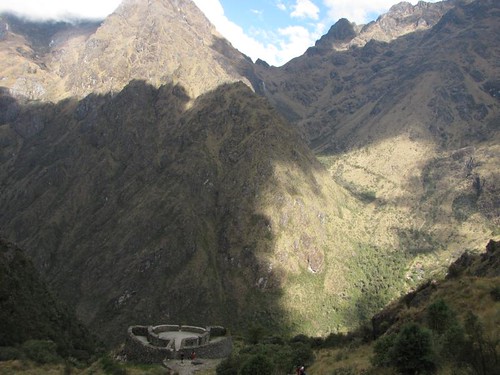
The climb to the 2nd pass of the day was much easier than the first, about half as much elevation and we’d just completed the hardest part of the trail and covered half the distance so that boosts the energy a bit.  Up inca stone stairs on the side of the mountain with jungle growing around you the scenery from here was better than the morning hike too.  We also had a fantastic view of the massive mountain we’d just hiked over. About halfway up to the 2nd pass we stopped at an inca lookout station perched on the cliff for a break, good stopping point.

inca lookout station with dead womans pass in the background

inca lookout station

At the top of the pass, 4000m, the clouds started to roll in but fortunately didn’t bring any rain.  From here it was a more gradual descent through the jungle on the stone inca trail we’d be on for the rest of the trek.  Beautiful everywhere you look and the clouds coming and going gave it a cool aura.

view from the 2nd pass

trail down through the jungle

About an hour before dark we reached another inca site, Sayaqmarka, a short distance from our campsite.  Another lookout station, this one was larger and more impressive.  Since our main guide seriously lacked in organizational skills (among other things) he gave us 15 minutes to explore it on our own and gave us no information on it before heading to camp, leaving the 2nd guide behind to make sure we all found the camp when we were done exploring.  Fortunately the 2nd guide was cool, didn’t care about the time (since there was no reason to) and we stayed for longer, the place was really cool in the fading light with clouds all around the valley.

Sayaqmarka inca site

Sayaqmarka inca site

Sayaqmarka inca site

Sayaqmarka inca site

Thus ended day 2, the hardest of the day and I felt fine, legs only slightly sore.  After dinner they gave us a local drink made of rum, oranges, apples, spices and some other stuff I don’t remember.  Same idea as hot apple cider but a lot better.  Macho tea they called it.  After a few of those we all went to bed.

dense bamboo surrounding trail

Inca trail, day 1

Wednesday, August 19th, 2009

Well the day of the inca trail dawned, (incidentally also marking moving beyond the 1 year point of my trip!) I was already up and waiting for a pickup from the tour company and not feeling the greatest.  Felt bad the whole previous day (I think from altitude or food, likely a combination) and hadn’t done anything, the morning was better but still not great, especially getting up at 4:30.  Anyway, the pickup never came so we had to get a taxi to the meeting point for the bus to the trail starting point (2 1/2 hours from Cusco).  This was a sign of the wonders of our tour company for the trip.
2 hours into the bus trip we stopped for breakfast, I felt a bit better and ate that, also bought the things we weren’t told we would need until our pre trip briefing the night before the trail started, and never ended up needing at all.  SAS travel is the company in case anyone reading this is thinking of booking any trips in Peru.  Don’t use them, they screwed up lots of stuff in the office including several peoples passport numbers that were correctly submitted online, also misinformation about weights of sleeping bags and mattresses provided beforehand.

Moving on from the un-endorsement of the tour company…  When we got the trail head the weather was perfect and after organizing the bags for the porters we headed to the checkpoint to verify our passports and then crossed the river to the start of the trail. 

starting point of the inca trail

view from the start of the trail, on the bridge

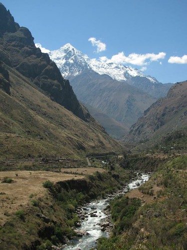
We started hiking at about 11:00 and got to our campsite around 5:45, just before dark.  Most of the day was gentle uphill and then downhill sections, following the river valley in between some very high mountains.  Sharing the trail with locals, including donkeys hauling packs in and out of the mountains.

IMG_5488

veronica mtn

We passed a couple inca sites along the way but mostly the scenery was just natural.  Trail mainly dust/dirt and wide, not and inca built stone trek at this point either.

large inca site along the trail

the inca trail

I didn’t hire a personal porter for the trip so I had to carry my own sleeping bag and all my belongings in my pack, the porters carry the tents for everyone.  By the end of the day I was tired and while not regretting my decision not to pay the extra for a porter the whole way I decided to hire one for day 2, when you can hire locals just for the day since it’s by far the hardest day of hiking and the highest altitude.  After dinner at the campsite with our group (12 people + 2 guides) everyone pretty much went straight to bed, 8:00.  The stars that night were amazing.

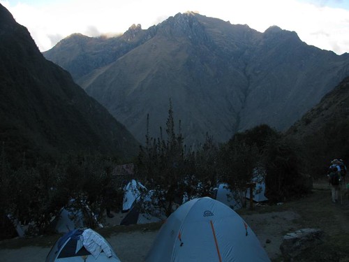
campsite night 1

Sacsayhuaman and the Inca sights around Cusco

Wednesday, August 12th, 2009

Second day in Cusco, feeling no ill-effects from the altitude we decided to hike up the hill North of the city to the ruins of the Sacsayhuaman inca fortress, only 40 minutes steep walking from the plaza de armas. With this view along the way…

view of the city from the hills

plaza de armas from the hills

We had planned to just visit this ruin for the day and go to the other 3, smaller ones the next day. However when we got to the entrance of Sacsayhuaman we discovered that the entry ticket for all 4 was 50% cheaper if we visited them all in one day. So we bought the one day discount ticket, at 1:00pm, with 5 hours of light left in the day. This meant a lot more hiking in between sites.

me @ Sacsayhuaman

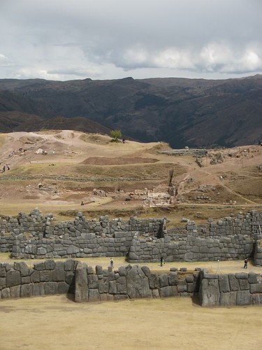
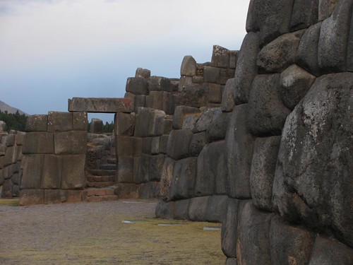
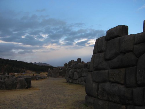
Sacsayhuaman is a large fortress, built by the inca civilization in the 15th century. Enough of it remains for you to imagine a very formidable fortification. A sheer cliff on one side, and 3 levels of high walls made of massive stones zigzagging at right angles across the flat open ground below.

fortress walls

fortress walls

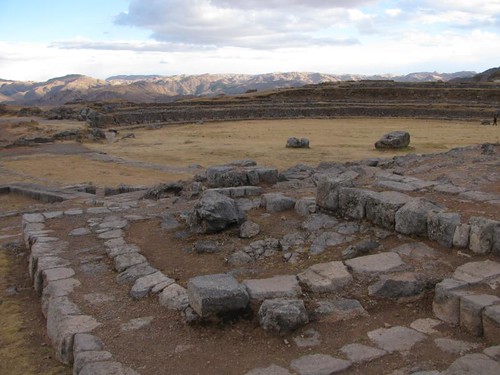
There’s more to the site than just the main fort, with tunnels, lots more building foundations and a circular arena.

tunnels

IMG_5432

We didn’t linger long, in order to get to the other 3 sights before sunset. The next one, quite small, was the inca rocks of Qenco. I met an Andean shaman there who was explaining to me the energy that (the incas) believe is in the rocks here.

me @ Qenko inca site

After that we walked what was supposed to be a 1 1/2-2 hour tough uphill climb, according to me rough guide. So naturally, we got to the next ruin easily in 50 minutes after a mainly gradual uphill walk along the side of the road. More kudos to rough guide for accurate information. Just before reaching the ruins of Pukapukara we passed through a small farming village. Houses built of the mud blocks and the fields surrounded by them too, they even had a football pitch in the village…

farm field in the mountains

andean village football pitch

Pukapukara was the gate house for the incas, a medieval customs office for the people en-route to Cusco complete with, apparently, hotel rooms of a sort.

IMG_5401

IMG_5415

IMG_5410

The last of the sites, 10 minutes down the road from Pukapukara, was the baths of Tambomachay. Another small site, with a cool inca water system there.

IMG_5422

It started to rain while we were admiring the baths, and since we were completely unprepared for the day, only taking stuff we thought we’d need for the first ruin (no coats, jumpers or much of anything else) we caught a 1 sole (usd 0.30) minibus taxi back to the first ruin instead of walking in what was now a chilly day with the sun long hidden behind clouds. It was not raining back at Sacsayhuaman so we figured we’d walk around some more there. Apparently our ticket was meant to be for one entry per sight (which makes no sense to me since it was only valid for today), but I concocted a story in spanish for the ticket person which she seemed to possibly half believe, and let us in regardless. The light was different and the wind was cold, but we walked around a bit more imagining what the place would’ve looked like in it’s day…

sunset at Sacsayhuaman

IMG_5452

first level of defense walls

IMG_5441

IMG_5436

sunset at Sacsayhuaman

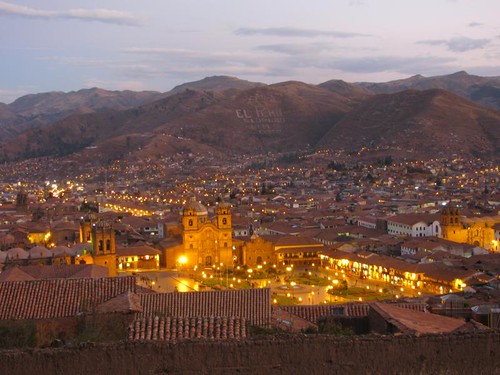
After that we headed quickly back to Cusco, and warmth. Stopping briefly for some shots of the city at dusk, it’s a stunning view night or day.

plaza de armas from the path to Sacsayhuaman

plaza de armas at dusk

The first restaurant we found with alpaca on the menu was our next stop, to try the local dish. I’d rate it average, pretty tough with decent flavour. Now I just have to figure out where I can go for a ride on one…

Cusco

Tuesday, August 11th, 2009

Our overnight bus that I mentioned in the previous entry arrived in Cusco at 11:30am to glorious sunshine and warm weather, never mind the fact that it’s at 3400m elevation.  We have 4 days here before leaving for the 4 day inca trail hike to give plenty of time for acclimatization.  I don’t see this being a problem, after being here for 1 day now and walking around the town for most of it and not having any altitude sickness or related issues.

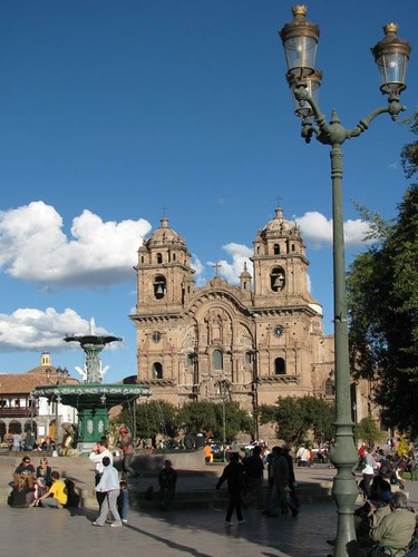
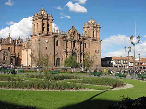
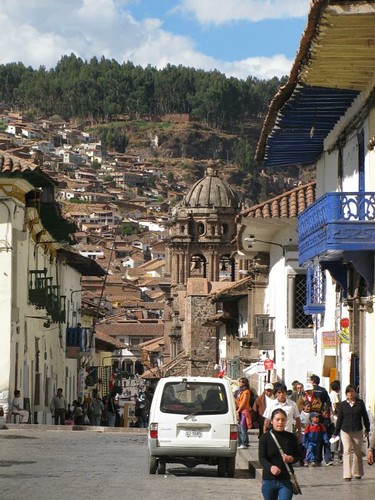
Before we’d even gotten off the bus it was obvious that Cusco is a much nicer place than Nazca, and actually does have colonial buildings, cobble stone streets and almost every building in town has clay tile roofs on them as well, adding to the scenic beauty of being surrounded by hills and mountains in the not so far distance.  We spent the day just wandering, no plan, no attempt to see any particular sights and it’s a great city for this.  Loads of small streets, archways, colonial churches and lots of open, laid back plazas.  The atmosphere is great, only downside is the people trying to sell you things around the plaza de armas, though they aren’t that persistent like in some places (Kowloon, Hong Kong comes to mind there…).  The plaza itself is great, surrounded by 2 large, old churches and arch lined buildings on the other sides.  Topped off with a green, open, plaza with a fountain in the middle of it.

plaza de armas

cathedral, plaza de armas

plaza de armas

plaza de armas

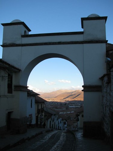
After that, and lunch, we walked through a couple more plazas, arches and took a lot more photos.  This is one of those places where I could walk around all day just taking photos.  There’s so many cool buildings, plazas and streets, not to mention the fact that you can go up hills in most direction for different angled views of the city.

central cusco

climbing up one of the hills

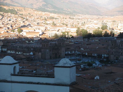
We walked up one of the hills just before sunset, great overview of the area…

climbing up one of the hills

view of the plaza de armas from on top of the hill

looking down into cusco

looking down into cusco

Other than just wandering around the city, which I will be doing more of, there are several inca sites within easy hiking distance of the city that we will be spending the days before the inca trail visiting, a sort of warm up hike.  This area is sounding, and so far looking, great.  The inca trail with it’s finish in Machu Picchu will be the climactic end to my stay in the Cusco area, and it’s also the last big adventure activity of my trip I have planned.  I have exactly one month today until I will be back in the US, 2 more weeks in Peru and then finishing in Colombia.  That hardly seems possible, only one more country to go and I’m done.  For this trip anyway….

Nazca, don’t go there!

Tuesday, August 11th, 2009

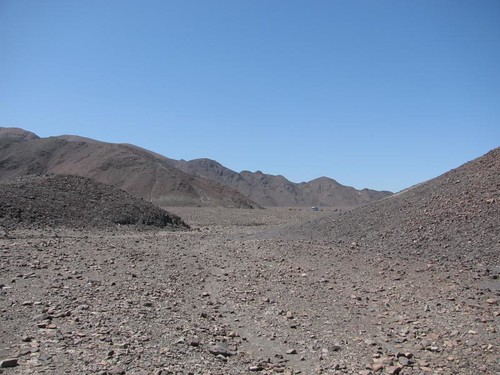
We left Lima for Nazca, a 8 hour bus ride through some of the most boring landscapes I’ve ever seen.  The worlds driest costal desert.  Looked more like the moon to me, unearthly scenery, and this was the same around Nazca.

mountains around the lines

The town of Nazca was described in my guidebook as a nice colonial town and a pleasant place to spend a couple of days.  After spending a couple days there I could not disagree more.  It is a total shithole with no colonial buildings in sight.  There is absolutely nothing to do in the town, the only draw here being the Nazca lines, made centuries ago by the Nazca people in the surrounding desert.  There are mountains here but they are the most uninteresting I’ve ever seen due to the complete lack of colour or growth on them.  Don’t buy the “rough guide south america 2009” book.  Enough said.

IMG_5199

IMG_5200

IMG_5196

People come here to do a flight over the lines, the only way you can see most of them.  However that is expensive and I had no intention of doing it.  During the two full days we were in Nazca, the only sightseeing we did was a trip to the viewing tower where you can see a few of the lines.  This trip was highly overpriced as well.

nazca lines

We spent most of our time in restaurants just killing time before our bus to Cusco…

bored, in nazca

2 days in total, having some good food, more Cebiche which I really like and various other good dishes, this was the only good thing though, stopping here to break up the bus ride was a terrible idea.  The bus to Cusco left at 9:00pm and arrived around noon the next day, pretty much all of the trip was through mountain switchback roads making it much harder to sleep than on the bus rides in Chile and Argentina.  There was also less legroom then the buses in those places and this was a more expensive bus.  I’m not impressed.  The last few hours of the ride before we got to Cusco was pretty spectacular, even saw some snow capped mountains in the distance…
near cusco from the bus

near cusco from the bus