
Arctic Circle
We thought about driving the Dalton Highway all the way to Deadhorse, the northernmost point you can drive to. But it is a 414 mile drive (1 way) on a dirt road that is notorious for causing flat tires. It’s recommended to take 2 spares. Since we only had 1 spare and weren’t sure we wanted to commit to the drive (once you arrive at Deadhorse you can’t even go look at the ocean, that is owned by the oil companies) we just drove to the Arctic Circle instead. It was a fun drive, we saw some interesting things, and didn’t get any flat tires! We also took our gas cans so we avoided having to pay $3.70 at one of the few gas stations along the way.
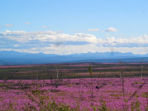
There were fields and fields of these wildflowers. They are called fireweed and are the first thing to start growing after the forest burns. In 2004 they had a really bad year for wildfires up here.
It looked like we were on another planet.
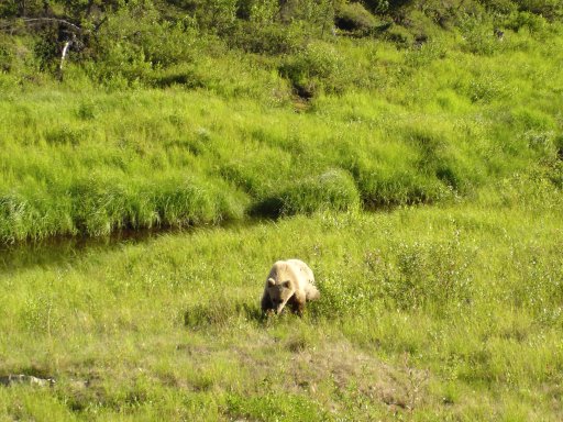
A cute grizzly we saw along the way.
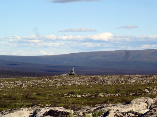
The landscape is really weird. The permafrost shoves these huge rocks up out of the ground through freeze/thaw action.
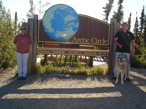
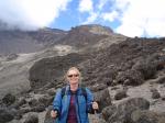
There we are, at the Circle! Amazingly, there was someone else there to take our photo.
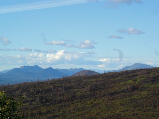
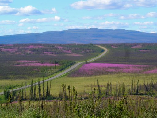
This is a view of the Brooks Range from our turnaround point.
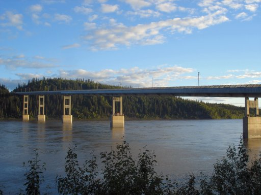
Bridge over the mighty Yukon river. This picture was taken at 10:30 at night. See how it looks like maybe 6:30 by the amount of light? It is crazy!
Tags: North, to Alaska