South of the Border
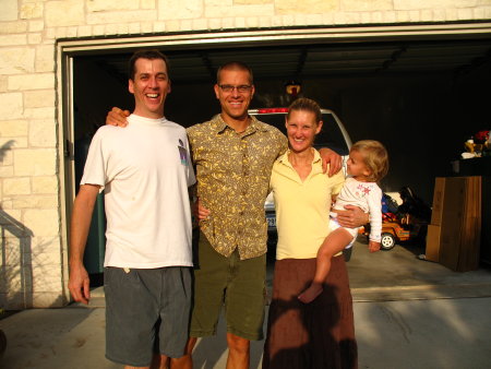
After leaving Mrs. Higgins, we headed to Austin, TX to visit a friend we have known since we were 12. We stayed with him and his family for a couple of days before hitting the road to Mexico.

We crossed the border at Brownsville/Matamoros. If you ever get the chance to stay in Matamoros, do not. The guide book says it is the most charming of border towns, and that says a lot about the other borders.
From there we headed south to Xilitla on the 13th. As soon as possible we will post a picture of something surprising we saw there in the highland jungle.
The next day we drove to Papantla, which is the 1986 winner of Funniest Town Name in All of Mexico. Actually, it is close to the Mayan ruins in Tajin. They have been carefully excavated and has a manageable museum.
Right now we are in Veracruz, which is a surprisingly beautiful sea port. We are not sure where we will go from here, but we will head in the direction of the Yucatan. Merida is probably on the way.
Ok, now that I have gotten itinerary out of the way, let me tell you a little story about driving here. We knew from previous foolishness on my part (Dan here), that it is surprisingly easy to get tragically lost. This includes walking or driving. Driving in Latin America is often a challenge for anyone who relies on road signs or maps to find his way. Hey Honey, let’s take a road trip! Maybe that is up there with “Oh, that is just a big friendly bear, like Yogi, except he’s not wearing pants.” Well, Giselle is a sport and she proved that yesterday. Mexico has different levels of roads- on the map red and yellow is a toll road on par with the Autobahn; really. Red and white is a fast highway, just like in the US. Red is a two-lane road in good condition with traffic going along between 50 and 60 mph. Thick yellow is a local road with rough patches and you travel about 20 mph. Thin yellow is very local and has the most chickens, speed bumps, potholes, dogs sleeping in the middle!, washouts, etc. It can be very Mad Max with rough looking vehicles. And then, there are the roads which do not appear on the usually complete Guia Roja map book. These are the “streets with no names” that U2 sings about. At least that was what was playing on our radio as we passed through the last town on the map. In the town of Huejutla there are about 4 different roads leading out of town. The one we chose went from red, to thick yellow, to thin yellow, to not on the map at all. No names, no pavement. No good. We bounced along for about 30 minutes. Softball-sized rocks clunked around the undercarriage. I plodded along, mindful of the hole I put in a gas tank once. By the way, stay away from a certain Ford Taurus available for rental from Hertz in Texas. At this point Giselle asks if I think this is the right way. I tell her I don’t remember from the last time I was there; that’s my standard unfunny joke. Our choice: turn around for 30 more minutes of severe abuse, of push forward and hope for a velvet covered lane ahead. After about, oh, two hours later it really started to look bad. We stopped to ask locals about where we were and if they knew how to get to our the closest town actually on the map. How can there be soooo many towns not on a map? While they were friendly, they weren’t so helpful. One guy rattled off the names of a bunch of towns; not one of them on the map, of course. Our trusty Radio Shack compass guided us in the general direction and after about another hour and a half of guessing and loosening fillings, we finally hit asphalt. Yippee!
Tags: Travel

November 16th, 2005 at 6:57 am
eep! sounds like you chose the right vehicle. congratulations on getting out of the U.S.!!
November 16th, 2005 at 9:55 am
Wow! The adventure is in full swing! Your story reminds me of one I heard (on npr) about Managua, Nicaragua. The town doesn’t use street names, or geographic conventions like north or south. There are no house numbers and when you address an enevelope you have to describe where the house is by it’s surroundings. Residents give directions like “the street with the old red pickup abandoned on it.” Apparently there was a huge earthquake there and since then the infrastructure isn’t what it was. So be warned if you travel through there!
November 16th, 2005 at 4:32 pm
Hey Dan and Giselle! Be taugh and keep going South! Be aware of some “hot tacos” and bad fuel for your brave car! Hasta la vista!
November 17th, 2005 at 3:04 am
Bienvenidos al Tercer Mundo, Dan Y Giselle!
November 18th, 2005 at 5:17 pm
Hi!
Thanks for taking us along on this adventure! On your posting for “South of the Border,” your blog page has ads for traffic signs and free driving directions. Coincidence? I think not.
Continued good luck on your trek.
Angela
November 21st, 2005 at 6:27 pm
Marcus & Amyra, I’m not exactly sure what you mean about hot tacos, but I think I found out.