BootsnAll Travel Network


Archive for July, 2007

« Home

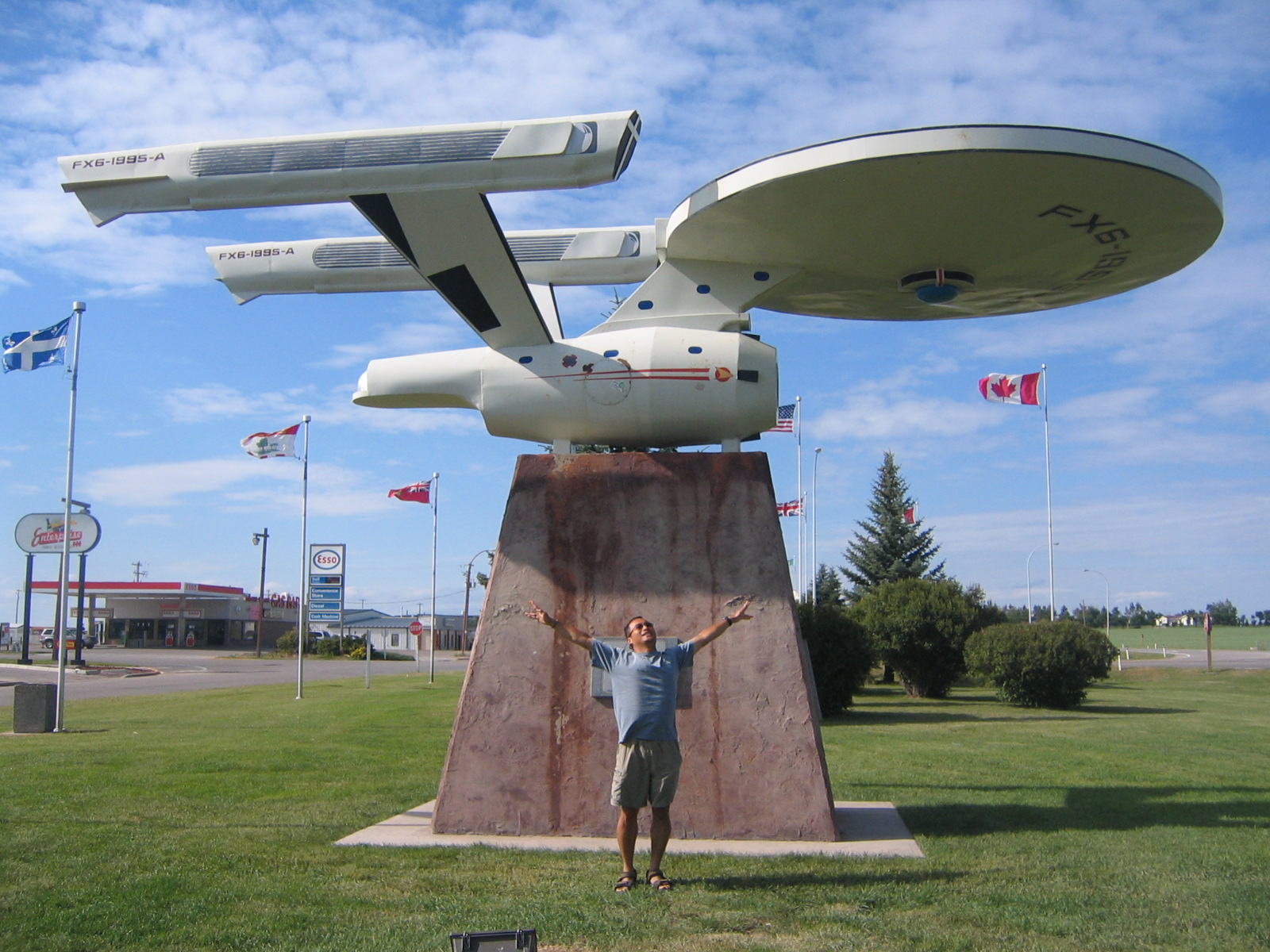
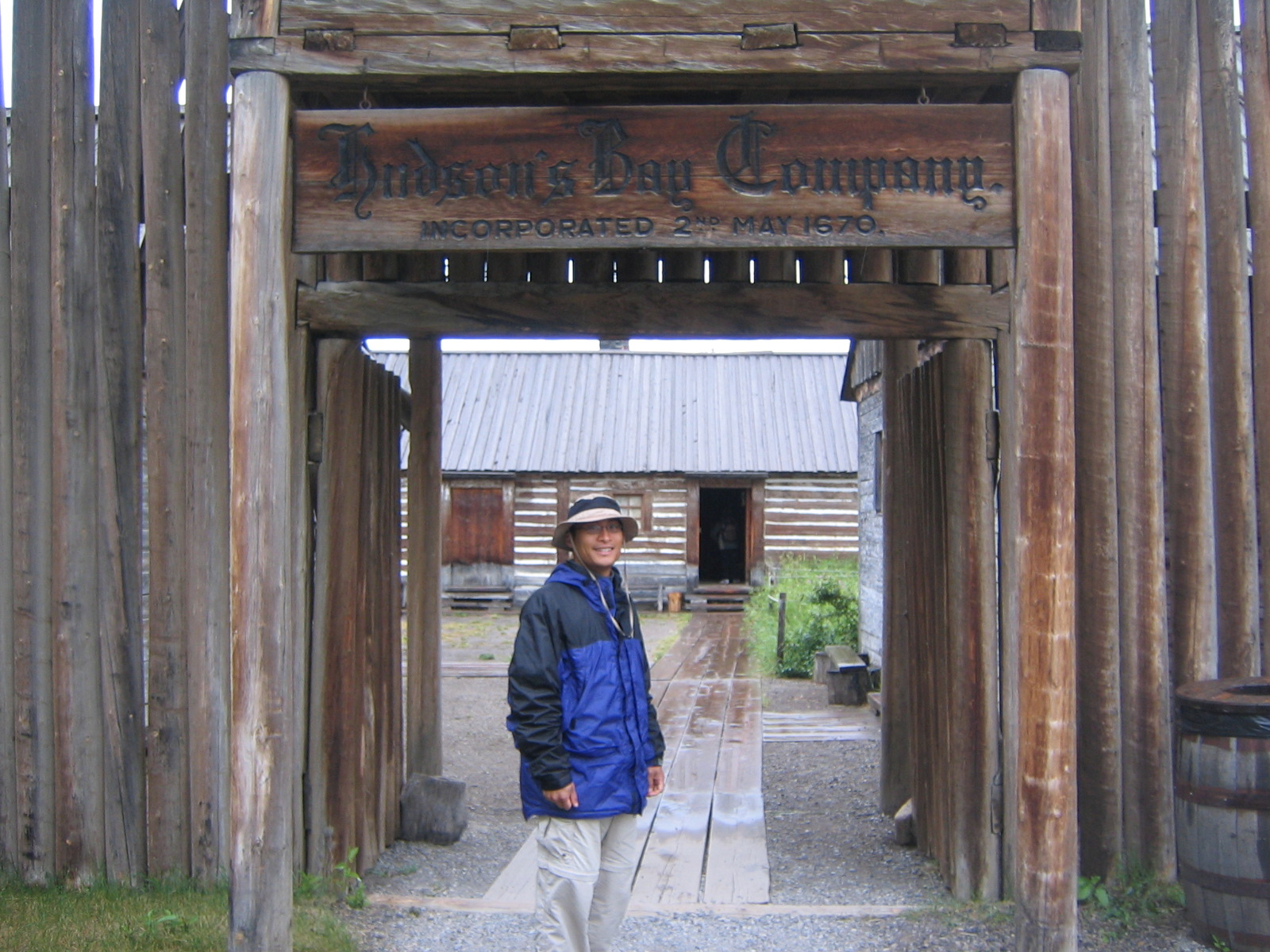
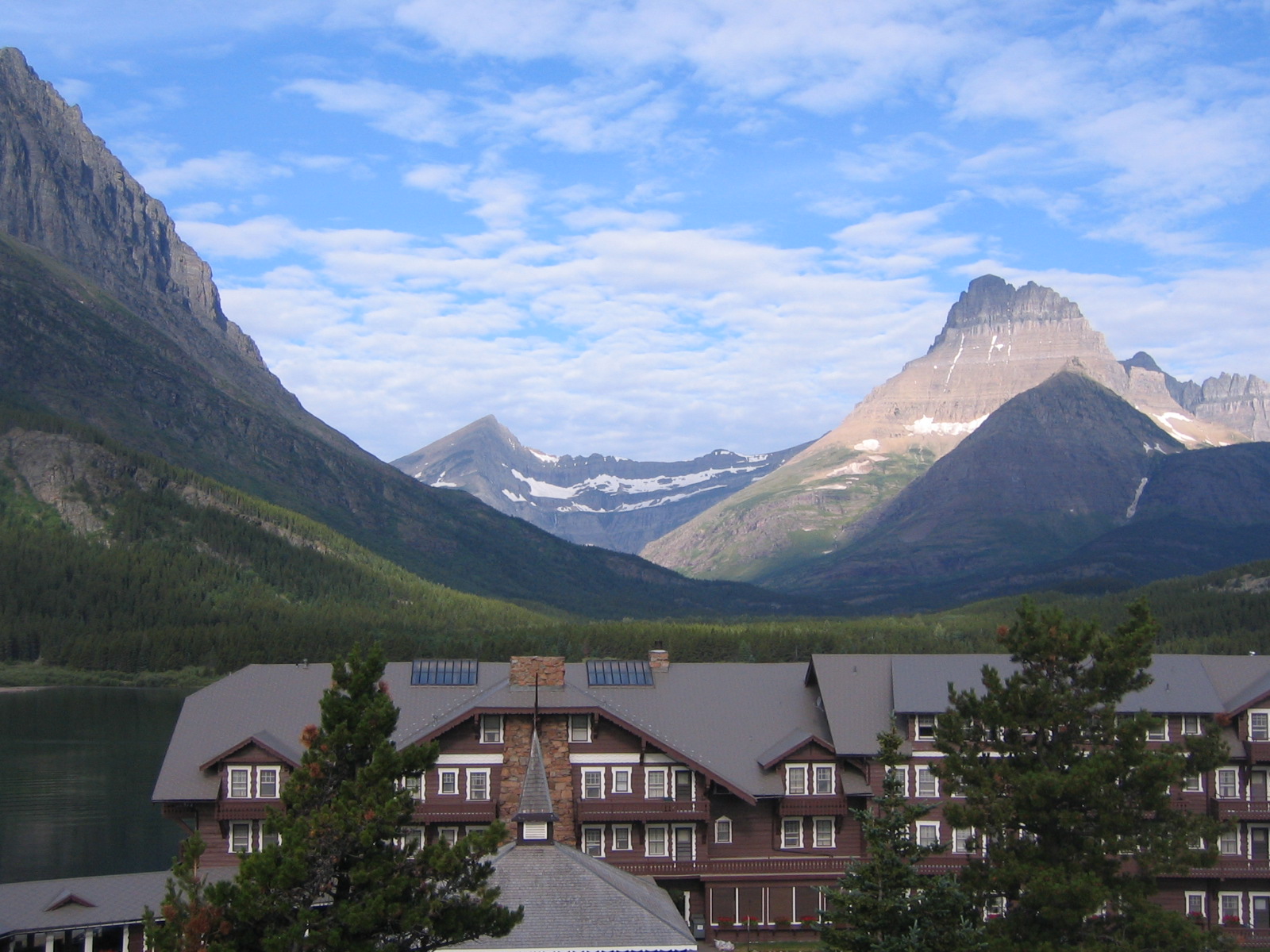
Trip Report: Alaska Highway

Thursday, July 26th, 2007

So here’s your quick history lesson/introduction for the Alaska Highway.

Pearl Harbor, December 1941. The threat of the Japanese. Suddenly, the 49th state of the union was a major concern of national security. Japan sits only 600 miles from Alaska’s Aleutian Islands. As a matter of fact, Japan attacked and actually landed troops on US soil in June 1942 before retreating after a brief battle with US troops. The only way to get supplies to Alaska was via ship or plane. There was no road from the continental US into Canada and into Alaska. Thus, it was decided that we needed to build a road to Alaska. We received Canada’s permission–well after we actually started making the road. But make the road we did. It was a military road, not open to the public. 1,422 miles from Dawson Creek, BC to Delta Junction, Alaska. Crews started at both ends and met in the middle at Contact Creek. All in 8 months and 2 weeks. Winter months, mind you. In the freaking wilderness. The numbers (courtesy of an Alaska Highway guidebook):

– US troops used in construction: 11,000
– Civilian workers: 16,000
– Pieces of heavy equipment: 7,000
– Bridges constructed: 133
– Culverts installed: 8,000+
– Cost: $140 million
– Began: March 1942
– Completed: October 1942
– Opened to the public: 1948

So there you have it. 1,422 miles of rough road completed in 8 months. It was a crappy road; after all, it was built crudely by military personnel who didn’t really have the experience with these kinds of things. Which is why the Public Roads Administration came in a few months afterwards to do the paving and improving of the highway using private contractors. Still, the road is considered an engineering marvel. And to drive this stretch of road and to imagine what all the workers went through just blows me away.

Day 1: Edmonton to Dawson Creek

It was a long drive, especially when I was low in gas and exited the freeway when I saw a gas pump sign.  Little did I know that I’d have to drive in for 6 miles to get to the station!  Then, when leaving, I got stuck in Suburbia Hell.  Driving in these little communities with dead ends and no where to exit back to the main road.  Construction of these houses were everywhere.  The name of the town is Spruce Grove.  Suburbia Hell.  One hour after exiting the freeway, I found my way back. 

We continued on through Whitecourt and to Grande Prairie, Alberta (not Texas), where we checked out a sad version of a Farmer’s Market and even more sad, the Costo didn’t have those awesome hand-dipped Ice Cream Nut bars like they do in Portland.

We ended the day sitting in construction traffic with the hot sun blinding and cooking us while we sat, waiting as patient as we could, for our column of cars to make it through.  We were definitely ready to call it a day after 400 miles.

Day 2: Dawson Creek (mile ‘0’) to Fort Nelson

Here’s where it all began.  Mile ‘0.’  And of course we had our obligatory photo taken at the start of the Alaska Highway.  Tooled around town reading about the history and waving on the bicyclists, motorcycles, RVer’s and other road trippers beginning the journey. 

Day 3: Fort Nelson to Coal River

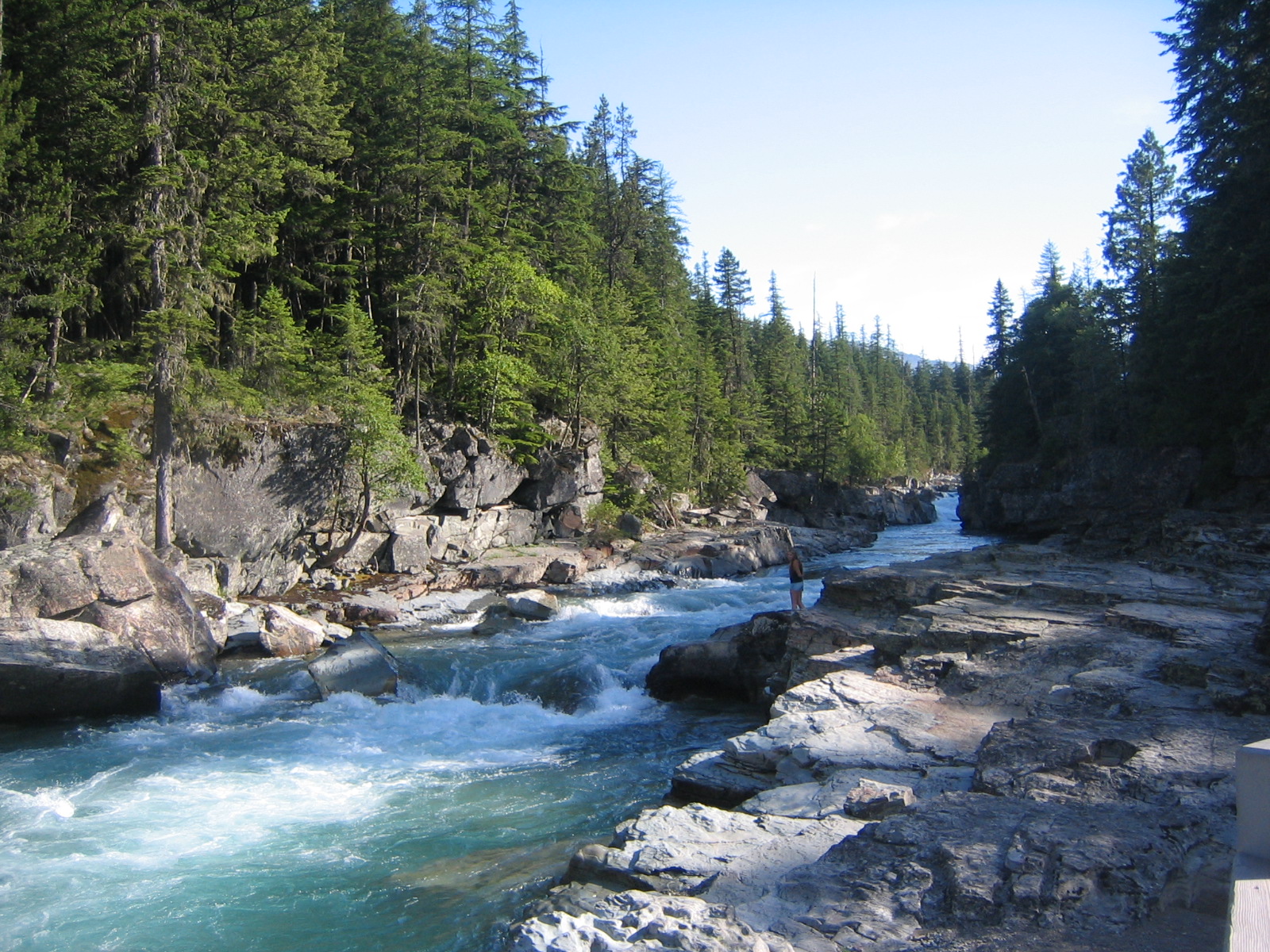
We started the morning at the Fort Nelson History Museum, and proceeded on to check out Liard Hot Springs, our planned camping spot for the evening.  But being attacked by those blood sucking mosquitoes changed our minds.  I figured that we could outrun them by driving further on.  Boy, was I wrong.

We settled for camping at an RV park at Coal River.  Big mistake.  Those suckers were relentless.  We were in our tent by 7pm, held hostage by the buzzers outside.  The sun was out, it wasn’t too hot and I had magazines I could pass the evening time away.  Well, the sun was out.  But Lisa, being the Science teacher and purveyor of weather related facts, kept pointing out the oncoming clouds.  The storm clouds.  I chose to not believe that we would get wet, and thus left the rainfly off the tent.  However, at the first drop of rain, I leapt into action.  Too late.

The downpour was sudden, and like those mosquitoes, didn’t let up.  I sprang out to attach the necessary connections, and in the process, was left bare and exposed to the heavy pounding of the wetness, plus unable to defend myself against the onslaught of the gnats (British term for mosquitoes).  Ankle slap, leg swipe, face brush, arm wave of despair.  Man, they got me good.

Back inside the tent, I dried out to the best I could.  Then the lightening.  And the rumble of thunder.  Distant, then growing ever closer.  Minutes later, it was as if we were in a THX surround sound theater.  It was that loud, that close, that scary.  For an hour we endured.  Hoped that Lisa’s little $20 GI Joes (oh, sorry, now it’s just Joes) would hold on.  And it did.  All night.  It rained all night.  The lightening and thunder show was only over an hour, but the driving rain continued well into the morning.  Around 8am, at our first break of no rain, we quickly disbanded camp and promised that our next night of sleep would be in a real bed.

Day 4: Coal River to Watson Lake to Whitehorse

Nice, easy 100 mile drive into Watson Lake for breakfast and to check out the famous Signpost Forest.  Back in 1942, a US Army soldier working on the construction of the Alaska Highway put up a signpost announcing the distance of his hometown.  Since then, Over 60,000 signs have popped up, including signs for Newberg, Wilsonville, Corvallis and other Oregon locales.  People have made their own signs to hang up.  The most inventive was a pair of flipflops signed and nailed to a post.

From Watson Lake, it was another 275 miles into Whitehorse, the Capital of the Yukon, where we did find a hotel to check into complete with laundy facilities, a real shower (not some coin-operated metered 7-minute only shower from the campground, with icky floors that deemed flipflops a necessity) and cable.

Day 5: Whitehorse to Takini Hotsprings

We spent most of the day exploring the history of Whitehorse and the impact of the railroad and goldrush.  In the afternoon, we drove the short distance to Takini Hotsprings for a great long soak at the odorless hotsprings, and then a very restful night of camping at the campground.


Day 6:  Takini Hotsprings to Dawson City, Yukon

This day was supposed to take us from Whitehorse to the Alaska/Yukon border, a total of 303 miles. Instead, we made the decision to drive up the Klondike Highway northbound to Dawson City, heart of the Klondike and home of the Klondike Goldrush. That was when prospectors discovered gold on Bonanza Creek on August 17th, 1896. Next thing you know, 30,000 would-be gold-seekers began their trek to Dawson City, over the difficult Chilkoot Trail from Skagway and then on northward hundreds of miles to Dawson City.

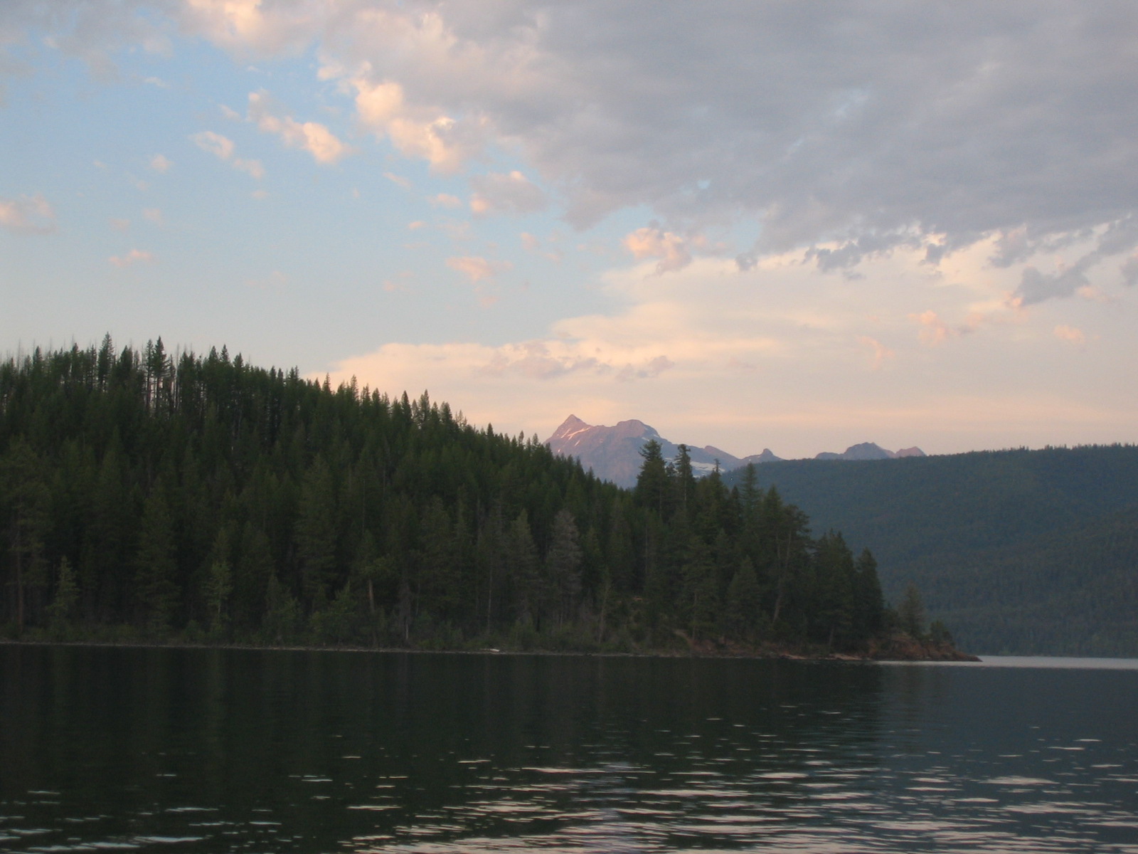
Driving the highway was one of isolation. Only a few towns between Whitehorse and Dawson City. Less than 50 cars driving the opposite direction.  Just nothing on all sides; I don’t mean nothing.  Just forest and trees and mountains surrounding us.  Quite spectacular, really.


Day 7: Dawson City

We spent a full day touring the town and taking in all the historical attractions and museums. 


Day 8: Dawson City to Delta Junction, via the Top of the World Highway, aka the 60 Mile

Note from our highway travel guide:  “CAUTION:  Allow plenty of time for this drive; average speed for this road is 25 to 50mph.  DRIVE WITH YOUR HEADLIGHTS ON!  The Canadian portion of Highway 9 was seal coated a few years ago, but there were numerous gravel breaks in fall 2004.  On the Alaska side, the highway is gravel from the border to Chicken.  Top of the World Highway is a narrow, winding road.  There are no guardrails.  Some streep grades.  Watch for soft shoulders and washboard.  Great views!”

What a beautiful drive.  It really wasn’t as bad as we thought.  And we did allow for plenty of time.  It took almost 6 hours to drive the 180 miles to Tok, where we stopped for an early dinner and drove to a nice state campground near Delta Junction.

Day 9: Delta Junction to Fairbanks

Delta Junction is the end of the Alaska Highway, though most folks driving the highway consider the end to be Fairbanks.  Nonetheless, we took our photo at the “End of Alaska Highway” post near the Delta Junction visitor center, then proceeded the other other ‘end’ towards Fairbanks.  En route, we stopped at Rika’s Roadhouse and Landing at Big Delta State Park for more history, and also learned about the trans-Alaska pipeline.  After a brief touristy stop at the North Pole (Santa and Mrs. Claus were there!), we made it into Fairbanks just in time for the Golden Days Celebration (their version of our Portland Rose Festival).

My internet time is running out, so that’s it for now.  It is Thursday, July 26th, and so far I’ve had no bites regarding the sale of the car.  I’ve taken it to a used car lot, and they won’t touch it because of the Check Engine light and because of the mileage (164,000 and counting).  I fear that this will turn into another Honda Accord donation headache.  I still have Friday to unload it, but time is closing in.  If I can find Internet in Seward this weekend I’ll write up our report for Denali National Park and for Anchorage.  But for now, it’s time to run.  I really need to invest in a laptop cause it seems that wireless is readily available in many of the places we’ve visited….

More things Canadian, Latest Stats, and Where to from here…

Monday, July 23rd, 2007

Things to remember when traveling in Canada.

– When turning at an intersection and you have a turn signal, the flashing arrow indicates it is your turn to turn!  A solid arrow means you must wait and yield to oncoming traffic.  This was pretty hard to get used to.

– It’s kilometers, not miles per hour.

– In the Yukon, headlights must be turned on every time you drive.

– Things are expensive up here.  Way expensive.

– Gas stations:  Tesoro, Husky, Petro Canada, FasGas, Tempo.  Absent:  Chevron, Texaco, Arco, 76.

– Do not ask for a restroom or a bathroom. Everywhere here they are called washrooms.

Latest numbers, as of Monday, July 23rd, 2007, 10:00am

Total miles: 3,975
Total cost of fuel: $402
Most expensive gas: $5.25 per gallon, Dawson City, Yukon Canada
Least expensive: $2.88 per gallon, North Pole, Alaska
Best gas mileage on a fill-up, ideal highway driving conditions: 37mpg
Worst gas mileage, worst conditions: 21mpg
Time Zones: Mountain, Pacific, now Alaskan
Total mosquito bites on me: 58
Total in one 15 minute spurt: 15 (Coal River, Yukon. 2nd place: 13 on a short hike near Chicken, Alaska)
Number of dead dragonflies, butterflies, mosquitoes and various other flying insects smashed against the front of the car: hundreds upon hundreds

Animal sightings from the road: coyote, caribou, buffalo, stone mountain sheep, moose

Number of books on tape finished:  3  (The Hobbit, Tom Bodett’s “John Tuttle and the Last Frontier” and the first book of the Bartemeous trilogy).

Total days of rain:  2

Number of days wearing shorts and short-sleeve shirts (except today):  all of the days

We have been very lucky with the weather, although today (Monday) is just raining cats and dogs and we are on our way to Denali National Park.  It has actually been a very hot drive up from the States, each place we’ve gone to it seems like they set their new high temperatures.  It was extreme in Montana.  And the further north we got, I thought it would be cooler.  Wrong. 

The sun has been out for up to 20 hours each day.  Only recently has it dipped down below 20 hours of day light.  We are losing 6 minutes of daylight every day.  But it is incredibly weird to try and sleep at 11pm in the evening and it is so full of bright daylight outside.  Very tough when camping in the tent, I’ve had many nights where I have my bandana folded and wrapped around my head.

Alaska’s unofficial state bird is the Alasquito.  They have been relentless ever since Dawson Creek, BC, or since 1700 miles ago.  I HATE mosquitoes.  For the longest time I had the perception that they had no useful benefit on our planet.  Until last night, when I read that they help to pollinate some sorts of plants up here.  Well that’s just great.  That doesn’t change my mind about them.  They are just relentless.  I think we’ve purchased every type of spray available, including those coils and anti itch cream.  The only thing we haven’t tried are those electronic devices. 

The car has held up really well.  I was really freaked out about going over the Top of the World highway.  The day before we took the car up to Top Dome above Dawson City, only 4 miles one way.  It was a steep climb, and on the way down, my brakes were smokin’ and stinkin up the place.  My confidence was shaken.  Before leaving Portland earlier this month, the Pontiac dealership showed that the car’s brakes were all fine.  So I just hoped that Top Dome was just a abberation.  Having 3rd, 2nd and 1st gear helped for sure.  Other than the brakes, the car has been beautiful.  Great gas mileage, plenty of room for our gear.  The little radio transmitter device I bought for $10 at Shuck’s has been a great investment, allowing us to play my MP3 player and the books on tape. 

Now the problem is trying to sell it.  I posted on Craigslist in Anchorage, but for some reason my listings were not showing up.  Therefore, no one knew that I was coming and that it was for sale.  I just found out a few days ago that the reason why my ads were not posting was because I had been using computers in Canada–and somehow, the Craiglist system detected my ‘international’ IP address and thus blocked the ad.  Too many Nigerian scammers out there, I suppose.  So only recently, now that we are back on US soil, have I been able to post the ad.  But I need to sell it by this Friday, and hope that I get a buyer.  I don’t want the same end-of-the-road Honda incident to happen to this Pontiac. 

As I said, we are now off to Denali National Park.  Mount McKinley is the highest peak in North America, at about 4 miles.  Unfortunately, it is said that the mountain creates its own weather system, and people who visit in the summer only have a 20% chance of seeing the peak, since it is always cloudy and stormy.  The forecast for the next 2 days are not in our favor.  But at least our tent has been worthy and proven, especially after our mosquitoes and thunderstorms in Coal River.  I’ll save that one for Thursday.  So check back then for my trip report on the Alaska Highway, and hopefully at that time I’ll find a USB port to load up some pictures.


Oh, Canada! Part 2

Friday, July 20th, 2007

Time for your daily math lesson. Here we go.

1 liter of gas in Canada averages about $1.13

(Update 07/19/07: The gas up here in Dawson City is $1.39 per litre!)

1 liter = .26 gallons

1 gallon = 3.79 liters

You with me so far? Okay, now for some money conversions.

I remember the days when 1 Canadian dollar would equal $.65 U.S. You could travel relatively cheaply back in those days. Today, 1 Canadian dollar equals $.95, if you’re lucky. Because when I went to the currency exchange and traded $100 US, I received $103 Canadian. That’s just $3. If you go to any store or business, the exchange is at par. Thus, $1 Canadian = $1 U.S. And that really hurts. Especially considering the fact that prices are higher here in Canada than in the U.S.

Like fast food. And clothes. And accommodation rates. And groceries. And especially gas.

Are you ready for the math? Here we go then.

1 liter of gas just about 4 gallons. So 4 gallons x $1.13 = $4.52.

$4.52 Canadian x $.95 US = $4.30.

Therefore, I am paying the equivalent of $4.30 per gallon of gas up here in Alberta. And to think, I passed up filling my tank for an outrageous $3.51 just before crossing the border. I thought that was too much to pay for gas. I was foolish to think that the gas would be cheaper up here. Especially when we were in Edmonton, which is considered oil country. They even named the NHL Hockey team the Oilers. Go figure.

The Pontiac is doing relatively well. I’m driving the speed limit to save on gas consumption. The check engine light is on and bright as ever. It only rained one day so far, so I haven’t had to deal with the flooded carpet. It would have been nice to have air conditioning, cause the heat wave of the Northwest US had found its way all the way up to Northern Alberta.

EDMONTON

More flat, straight driving into Canada’s northernmost largest city. Of course we had to check out the West Edmonton Mall, one of the world’s largest. Were we impressed? Would you be if you came across this monster?

– Over 800 stores/services

– 21 screens of movie theaters (including an IMAX, where we saw Harry Potter in 3-D)
– Miniature golf course

– A glow in the dark miniature golf course

– Bowling alley

– Indoor waterpark

– Indoor amusement park with 2 rollercoasters

– Mystery dinner theater

– Over 100 restaurants/eateries

– Ice skating rink

– Over 20,000 parking spaces

– Gun shooting range

– Santa Maria replica ship in middle of the mall (well, one of the middles)

So yeah, it was quite overwhelming walking through this beheamoth. Aside from the mall, we also checked out Fort Edmonton Historical Park, the old Strathemore district, and had a fun evening in the city center at the Internationl Street Performers Festival (no, I was not allowed to busk because I left my Casio keyboard at home, otherwise I would have been rolling in the dough). We stayed with some fellow members of the Bootsnall community, Neil and Kathy, who we requested accomodations via Couchsurfers. Which will be an entirely different blog entry in itself. But that’s all I have for now, so when I find more internet, I’ll write up another post.

IMG_0124.JPG

Inside the mall, one of the many non-shopping or eating attractions.

IMG_0116.JPG

I didn’t get inside the waterpark’s rides, so I had to settle for this shot.

IMG_0147.JPG

At the Edmonton International Street Performers Festival.  Good stuff!  I’m thinking Portland should have their own festival showcase, this was definitely alot of fun because the central square had 5-6 different performers going on at one time and you could just rove around–if one act sucked, a few feet away was another act and for just a donation, this entertainment was top notch.

Oh, Canada!

Tuesday, July 17th, 2007

Calgary, Alberta thoughts:

Man, it sure is flat up here!  The roads are all very very straight, and it is just flat as a pancake.  I could see for miles upon miles far and away as we drove up from the Canadian border.  Which, incidentally, we didn’t pass inspection so easily.  As a matter of fact, we were sequestered into an interrogation room (not really, but it sounds better) where the border agent asked Lisa and I spit-fire questions like we were on a speed round of some gameshow and she wanted to see how easy and ready we were with our answers.  Our extra time at the border station was because I answered “Yes” when the gate guard asked me if I had any firewood.  So, if there is a lesson in all of this, YOU CANNOT BRING FIREWOOD INTO CANADA FROM THE US!  Why?  Cause of Dutch Elm disease.

We made stops at Ft. McCleod, the first western outpost of the Royal Canadian Mountain Police, and also stopped at Lethbridge and Vulcan.  Guess which pictures below are from Vulcan?


IMG_0028.JPG 

Posing with my possee from Vulcan.


IMG_0030.JPG

This pic is dedicated to you, Ezra and Dan and Tim!


IMG_0034.JPG

A scale replica of the Starship Enterprise.


IMG_0040.JPG

Heritage Park’s Hudson’s Bay Company Fort replica.  We spent an entire day at Heritage Park Historical Village, and what a great time we had!  Set on 66 acres, there are more than 150 buildings and 45,000 exhibits that recreate pre-1914 Western Canada.  It is a living history park, where employees are dressed in period clothes and they describe and explain historical aspects of each exhibit or what life was like 100 years ago.  The Calgary weather was very strange during our visit–wet, cold and windy in the morning, then hot, dry and summerlike in the afternoon.


Our stop through town just happened to coincide with the big event that Calgary is known the world for:  The Calgary Stampede, the greatest outdoor show on earth.  This is a 10-day freakin’ HUGE party that happens all around town, but is mostly concentrated at Stampede Park where most of the attractions, midway, agricultural exhibits and, of course, the rodeo is based.  One of the cool things about the city-wide party is that this is the time that corporations give back, in the effect of free breakfasts all around town.  The speciality is the pancake with a piece of bacon in middle…

IMG_0062.JPG

The Calgary Stampede breakfast of champions!


IMG_0086.JPG

If goin’ to the Stampede, you gotta getch yur cowboy hat and boots to really get in the spirt of thangs.

How big is the Stampede?  Consider this:  The Texas State Fair attracts about 78,000 daily visitors, while the Stampede has an average of 125,000 people per day.  The day we went had perfect weather and we had our first experience of watching Chuckwagon races and then a spectacular night show, complete with fireworks, laser lights, music, dancing, acrobatics and motorcylce stunts, all on a huge stage that is the most expensive in the world–$6 million.


IMG_0100.JPG

9 heats of Chuckwagon races–we had no ideas about the rules and the penalty point system, but it was definitely exciting and we’d love to watch it again (tip:  if going to the Stampede, this is a Must-Do!).


IMG_0089.JPG

The midway–packed with all the standard thrill rides, plus all the fried foods like corn dogs, mini donuts, funnel cakes and more.


Next Stop:  Edmonton (to be continued)

AND:  Happy 30-something birthday to Captain Fury, Mike CanDoIt Rohrig!  He can shoot the 3, but he’ll travel if you let him dribble.  Check out http://www.myspace.com/hoosierdaddyjv for the greatest basketball team never to win a game!


Waterton-Glacier International Peace Park

Friday, July 13th, 2007

Montana thoughts

Often, when driving around Portland, I’ll see license plates from Montana that say “Big Sky Country.”  Well, no foolin’.  This place definitely IS Big Sky Country, where the posted Interstate speed limit is 75 and the sky draws the eyes because, well, it’s so dang big. 

Traffic in Montana?  Yep, at 1:00pm no less.  Try to stay off Reserve Road south of the Interstate.  It sucked to be ‘stuck’ in traffic when the car’s air conditioner is nonexistant and the mercury is over 100.  Other than Reserve Road, traffic was what I expected, which wasn’t much.

What was up with that Heat Wave?  Apparently the whole Northwest was affected in higher than normal temps.  The big news story of the day in Missoula was the weather, with the typical tips and warning signs of heat stroke and heat exhaustion.

Missoula has Arctic Circle!  That was my favorite fast-food burger joint when I was a kid.  They were known for their fry sauce, Ranch Burger, Lime Rickey and for putting lettuce on even their lowly hamburgers.  There used to be a spot around 35th and Hawthorne, as well as downtown and Sandy Blvd.  Today, they are all gone from the Portland area.  I know there’s still one in Salem, Woodburn and Newport.  Now, add Missoula to the list!  Yay for Arctic Circle!


IMG_1116.JPG

Here’s a photo especially for Amy and Sarah R (hint, it’s the home of the Grizzlies)


IMG_1137.JPG

We stopped into Arlee, MT for the annual 4th of July weekend Pow-Wow.  Here are festivities as part of the Grand Entrance.


 IMG_1149.JPG

We also stopped at the Mission de St. Ignatius, built in 1854 and the second Catholic mission in Montana.  The adjoining church, the interior shown here, was built in 1891.


IMG_1158.JPG

I took this picture of a painting that was for sale at one of the numerous art galleries in Big Fork, MT.  We almost made it to the Art Festival in Whitefish, but were only a few minutes too late before all the vendors closed up shop for the night.


Glacier National Park is considered the ‘Crown Jewel’ of the continent, and with good reason.  The park is famous for the 50-mile ‘Going-to-Sun’ road, as well as the lodges, hiking and backcountry opportunities, and for bears (we only saw mountain goats, deer and a snake during our visit).  We camped for two nights and got in three hikes, four if you count the short jaunt to Lake McDonald from our nearby campsite.


IMG_1171.JPG 

Lake McDonald, one the western edge of the park.


IMG_1179.JPG 

McDonald Creek.


IMG_1215.JPG

Driving up the Going-to-Sun road. View from the car.


IMG_1234.JPG

One of our hikes originated from Logan Pass, which crosses the Continental Divide at 6,646 feet.  Hiking through the snow in sandals is not a good idea!


IMG_1241.JPG

But ah, the view to the Hidden Lake overlook was well worth it…


IMG_1277.JPG

Our second hike took us to Avalanche Lake.


IMG_1297.JPG

Another shot from the car; you can trace the Going-to-Sun road in the photo.


IMG_1317.JPG

The heart of the park is at Many Glacier, on the northeastern end.  This is a shot of Lake Sherburne.


IMG_1319.JPG

View from the top of Many Glacier Hotel, where rates start at $160 a night.   The popular 6-mile hike to Grinnel Glacier begins just past the hotel.


That’s all I have time for now.  I should be able to update in a few days with my thoughts about Calgary and Canada, our next stop as we journey north to Alaska.  One more thing too–Happy Birthday a few days late to my tag team partner, The Bomb from Vietnam, aka John Le!


Roadtrippin’ North: Days 1-3

Monday, July 9th, 2007

Internet time is at a premium, so I apologize in advance for typos and run on words and sentences that don’t make much sense.  Lisa and I are now one week into our road trip up to Alaska, and this blog will serve more as a forum as a photo journal versus the written word, but I’ll put as much as I can for those who like to read more than just look at pictures.  On we go….


Day 1

Starting mileage:  160167

Transport means:  1996 Pontiac Grand Am.  White exterior.  Pretty clean interior.  No bumps, bruises, scratches or broken windshields.  Not much to complain about for under a $1000, purchased a few months ago specifically for this trip.  Automatic.  With cruise control.  That was a requirement.  V6 engine.  Air conditioning, but it doesn’t work.  Tilt wheel.  AM/FM Stereo cassette.  The cassette doesn’t work–actually, put a tape inside and it will jam up.  4 door sedan.  Power door locks and windows.  Rear defrost.  Spacious trunk, but the back seats do not fold down.  It’s a pretty good value for what I paid.  Much more reliable than my Honda Accord (see one of my very first entries for this blog for more info).  Here’s the bad:  #1.  When it rains, the water seeps through the chasis and creates a very wet puddle on the driver’s side floor.  So much that when I go over small bumps, I hear the car squeaking as it rocks on its suspension.  I have a suspiscion that the entire bottom of the car is rusted.  But as long as it makes it to Alaska, that is fine by me.  #2.  The check engine light is on.  I took it to the tune up place, they replaced a sparkplug and cleared out the code for the check engine light.  A week later, it turns back on.  And thus we drive with the bright hue of the orange “Check Engine” glowing at me.  This little issue will mean that it will be harder to sell the car once we reach our final destination.  I mean, come on, who would buy a used car with the Check Engine light constantly on?  Oh, I guess I would.  I failed to mention that the previous owner told me about that problem.  It’s still a great car, IMHO.  One more thing:  the high mileage for this car is primarly due to its first life.  My friend ran a carfax report and found that the Pontiac started its life as a rental car in Los Angeles…


After a quick stop to my parents home in Vancouver for lunch, we set off at about noon.  It was a straight drive to Spokane, save for an ice cream stop at Dairy Queen (gotta have my ice cream bars!) in the Tri-Cities area.

Total miles:  202


IMG_1020.JPG 

The Grand Car, just before leaving Vancouver.


Day 2

4th of July.  We got up early for an 8K fun run put on by the local runners’ club.  Later on in the day, we spent some time at the Riverfront Park ‘Good Neighbor Day’ and had our obligatory 4th of July hot dog and ice cream.  In the evening, we joined Lisa’s dad and his wife for a BBQ potluck with their friends at a home way up in the hills that provided a great vantage point for watching 2 fireworks displays.


IMG_1030.JPG 

The run probably attracted less than 125 participants, but the scenery along this quiet rural road made for a beautiful course.


IMG_1045.JPG

A shot of the big picture window inside the home on the hill, just before the start of the city’s fireworks display off yonder.  The outdoor deck afforded the best viewing.


Day 3

Mileage:  Spokane -> Missoula, 348

Left Spokane at 7am and had a great All American breakfast at the local IHOP!  Stopped at the Costco for cheaper gas ($2.92 per gallon), and 25 miles later when we crossed into Coeur d’Alene, ID, we found gas to be as low as $2.84.  We strolled the downtown area and walked the World’s Longest Floating Boardwalk!  For real.  Then it was on to Wallace, ID the ‘Silver Capital of the World!’  For real.  It’s also the Center of the Universe!  For real.  I don’t make these things up.


IMG_1072.JPG

Lake Coeur d’Alene, the marina with the world’s longest floating boardwalk and their fancy shmancy hotel.


IMG_1080.JPG

See, the Center of the Universe, right here in the heart of Wallace, ID.


IMG_1082.JPG

It’s the great tourist attraction that is called “10,000 Silver Dollar”, somewhere along I-90 in Montana.  Now the kitsche junk mega giftstore houses a collection that is more like 40,000!


IMG_1092.JPG

Costume playing at the Fort Missoula Park and Museum (not my regular look).


We made it into Missoula, MT for lunch and a tour of Ft. Missoula Historical Park and Musuem.  Then, because the region was experiencing one of the hottest days on record (105F), we ducked into an air-conditioned mall.  We also scrapped camping in favor of an air-conditioned motel room.  Our evening ended with a stroll through downtown Missoula and catching some tunes at a free concert.


IMG_1100.JPG

Fort Missoula was also used as an internment camp during World War II, and the Barracks building housed an exhibit which showed how some people felt about the Japanese during this time.


IMG_1104.JPG

Missoula’s downtown waterfront has a cool jogging/biking path, and below this overlook is a popular swimming hole.  Just across the river is the campus for the University of Montana.


That’s all I have time for now, check back in 2 more days for my next update!